The 17th Street closure structure is situated between the Lincoln Memorial and the Washington Monument, and it reduces risk to human safety and critical infrastructure in downtown District of Columbia from flooding of the Potomac River. It was constructed and is regulated by the U.S. Army Corps of Engineers (USACE), and operated and maintained by the National Park Service (NPS).
The 17th Street closure is a removable structure that can be erected in the event of high water to attach to the floodwalls on both sides of 17th Street and consists of aluminum panels between steel posts. Stone cladding application on the 17th Street floodwall was designed to blend in with the historic landscape of the National Mall. The closure is part of the District of Columbia (Potomac Park) Levee System and the Washington, D.C. and Vicinity Local Flood Protection Project.
The original District of Columbia Levee System was Congressionally authorized to provide flood risk reduction for a flood event up to 700,000 cubic feet per second (cfs) on the Potomac River from river and storm surge flooding. The project was completed in 1939 and relied on sandbags and earthen fill to form a temporary closure across 17th Street.
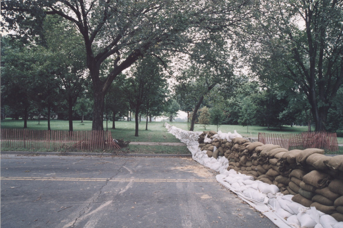
In January 2007, the USACE determined that the sandbag closure was unreliable for reducing flood risk from the Potomac River and gave the system an unacceptable rating. This unacceptable rating led FEMA to “de-accredit” the District of Columbia Levee System. In September 2010, FEMA released new Flood Insurance Rate Maps (FIRM) that show the downtown area and the Southwest part of the District without flood protection. With guidance from USACE, the District of Columbia initiated design of a more reliable removable post and panel closure structure in response to the FIRM revisions. USACE received American Recovery and Reinvestment Act funds to finalize design and award the construction contract. Construction began January 2011 for a total estimated project cost of approximately $9.4 million. The 17th Street post and panel closure was completed in 2014.
We work closely with our partners to develop the best strategies we can to reduce flood risk in this critical, densely-populated area. However, we stress that it is imperative for the public to know their flood risk and take appropriate actions to mitigate this risk.
Washington, D.C is susceptible to three types of flooding: Potomac and Anacostia river flooding, coastal storm surge, and interior/stormwater flooding.
The levee system also includes an existing permanent approximately 12-foot-high earthen levee that runs along the Lincoln Reflecting Pool and temporary sandbag closures at 23rd Street and Constitution Avenue, as well as along P Street SW that may need to be installed prior to a major flood. The levees and closures function as a system to provide flood-risk management. All closures must be implemented properly and in time prior to a strong storm for the system to function correctly.
USACE provided to FEMA in spring 2016 a positive levee system evaluation report that demonstrates the District of Columbia Levee System will reduce riverine flood risk to communities behind the levee by containing flood waters that equate at least to the predicted 100-year flood event (a 1 in 100 chance-per-year event); and that shows NPS can install the 17th Street closure structure, and operate and maintain the levee system as required. FEMA "accredited” the levee system after a 90-day public review period and issued in September 2016 a revised FIRM for the District of Columbia. This map includes localized flooding hazards in the Federal Triangle Area, and other vulnerable low-laying areas of the District.
According to the District Department of the Environment, completion of the 17th Street closure helps to achieve one of the goals of Sustainable DC—the District Government's long-term sustainability plan—to make the district more resilient by reducing the risk of flooding to district residents, agencies, and businesses.
The District of Columbia Levee System is in good condition, well maintained by NPS and designed to hold back major Potomac River floods. The system reduces flood risk for Potomac River flow rates up to 700,000 cubic feet per second. It is estimated that the levee system reduces the risk for a flood that has between a 0.2 and 0.1-percent chance of occurring in a year. A 0.2-percent chance equates to a 1/500 chance of occurring in a year. A 0.1-percent chance equates to a 1/1,000 chance of occurring in a year. However, an extreme flood could cause water to come over the levee and lead to a break in the levee, potentially resulting in loss of life, billions of dollars in damages and major disruptions regionally and to the national government. The area behind the levee contains more than 40,000 people and $14 billion in property including significant infrastructure that is critical to our nation. In addition, the District is still susceptible to interior flooding from heavy, localized rainfall directly over the District that overwhelms stormwater systems.
Congress authorized improvements/modifications to the entire flood risk management project. In order to complete these improvements, USACE had to complete a new study to update the project cost estimates.
Once Congress authorizes the change, the project can proceed to replace the sandbag closure at 23rd and Constitution with a more permanent closure and raise the levee system (with additional fill) to a uniform level to provide 3.5 feet of additional flood risk management.